@Daniel Carvalho - Viseu, Portugal
🧠 Educational content • Interactive quizzes
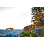
Landscapes and Maps >>
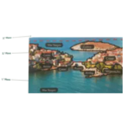
Orthophotomap
Orthophotomap: It stands out for presenting information with high clarity and detail
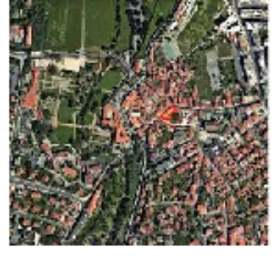
This type of map is used as a reference in several studies, including planning and land use. Orthophotomaps are cartographic representations of the Earth's surface created from vertical aerial photographs, in which optical distortions have been corrected.
Did you know?